
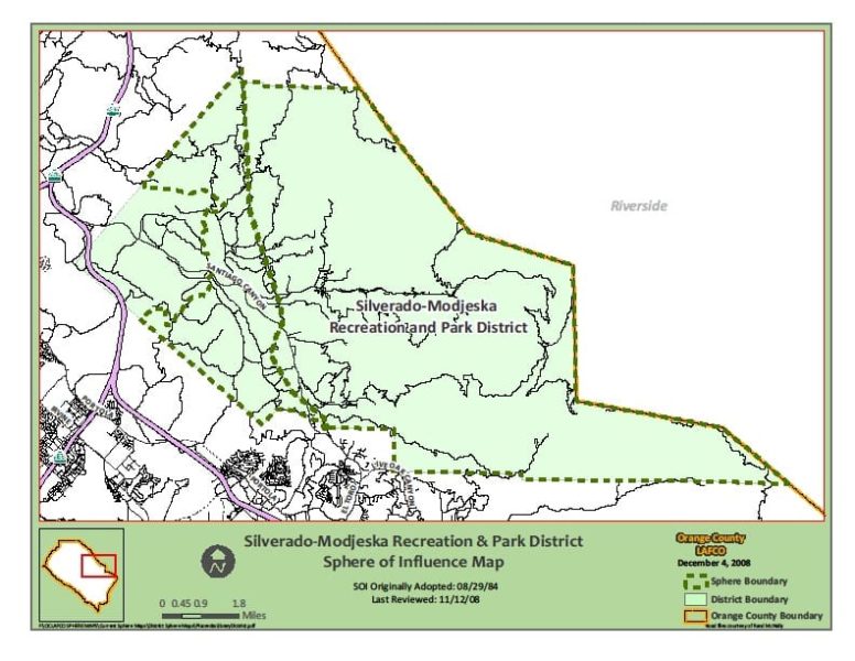
From Canyon Land Conservation Fund The Silverado-Modjeska area consists of approximately 65 square miles of mountainous terrain on the eastern edge of Orange County, California. Silverado and Modjeska are the most heavily populated canyons, with homes also in Ladd, Black Star, Williams, Harding and Baker canyons. Geographically, socially and visually, Silverado-Modjeska is a unique island within Orange County. Eighty-five percent …
Harding Canyon
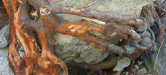
This is an alder root that was most likely covered in dirt before the Dec 2010 storms. The reddish tint is what happens when it is scrubbed by rushing water. It’s an easy indicator of how high the water got. Another interesting aspect of these is that these roots smell like leather.
Old mine attempt
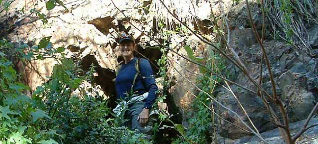
Ellen is standing in front of one of two mine shafts about 10′ apart and about 6′ above the stream. Both were no more than 5′ to 6′ deep so whoever dug these gave up rather soon. Looking at the stream bed with strata indicating a possible silver vein and realizing that on the other side of the ridge from …
New pool up Harding Canyon
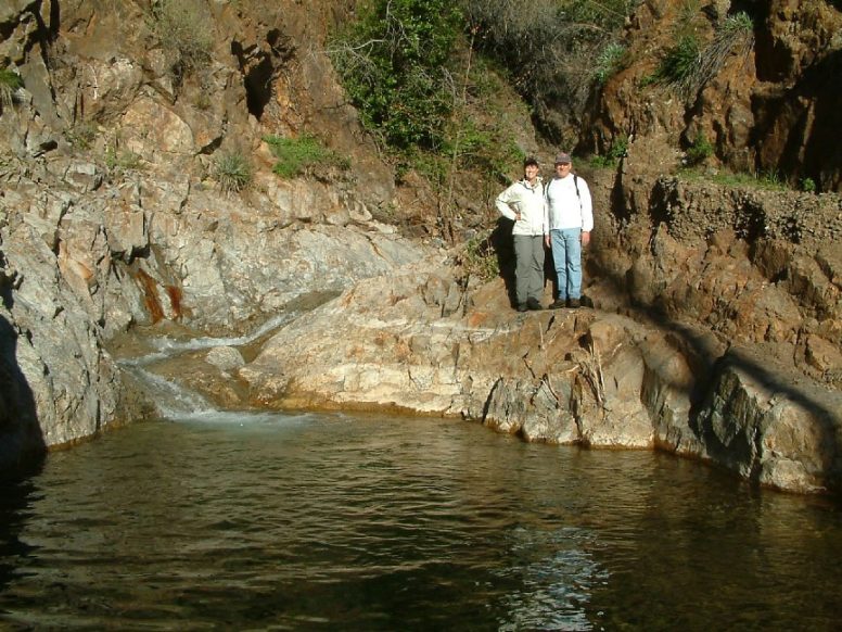
Ellen and I are standing above a new pool created after the Dec 2010 storm. What’s interesting to see here is the dirt banks above our shoulders. We’re standing on the rock formation that this pool contains now. Before the storm there was no pool here and this rock was most likely covered in decades of dirt.
Harding Canyon Falls
Water fall about 4 miles up Harding Canyon. That’s Joel Robinson above me. This is actually a 2-level fall. The second level is about 10 ft high. The water coming down this canyon and over the falls was strong enough to move a huge bolder that had rested under the top level. It’s very easy climb up the rocks. Mike …