
From Canyon Land Conservation Fund
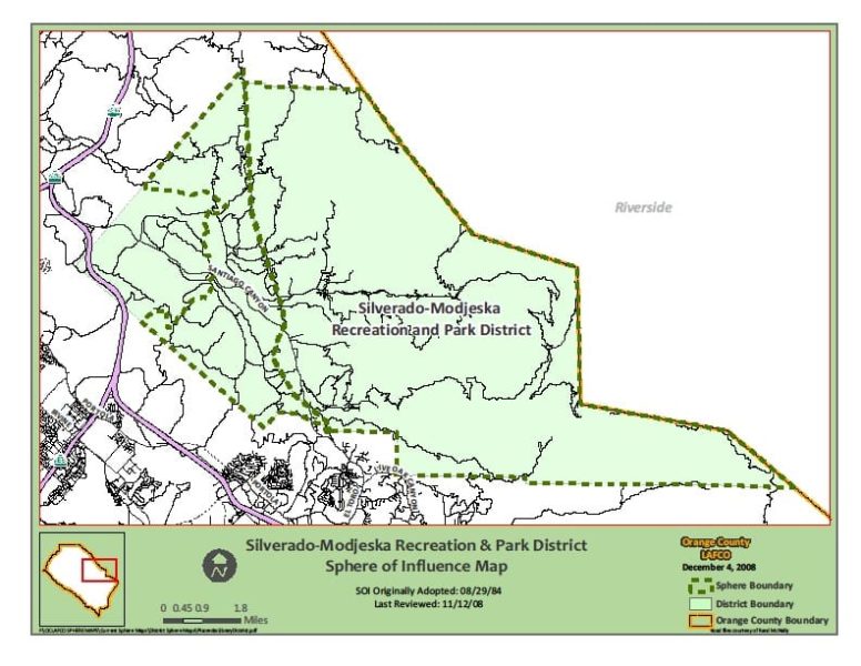
The Silverado-Modjeska area consists of approximately 65 square miles of mountainous terrain on the eastern edge of Orange County, California. Silverado and Modjeska are the most heavily populated canyons, with homes also in Ladd, Black Star, Williams, Harding and Baker canyons. Geographically, socially and visually, Silverado-Modjeska is a unique island within Orange County.
Eighty-five percent of the land is surrounded by the Trabuco District of the Cleveland National Forest on the north, east and south. On the west is the permanently dedicated open space of the Irvine Ranch Land Reserve.
Built on the site of an old mining town in the late 1800s, Silverado is the largest town in the cluster of small communities. Miles from the nearest grocery store or gas station, the communities are nestled between high mountain ridges, with wild sage, scrub and oaks running up the slopes. Creeks and spontaneous waterfalls, sometimes dropping 100 feet, provide a forest oasis. A third of the houses were built before 1939; about half were constructed prior to 1950. The majority started as small summer cabins for Los Angeles residents. While almost all have been updated, they still retain a rustic feel. Because of the surrounding mountains, many lots are patchwork size, with narrow roads threading through them.
