
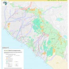
This gives you an idea of where the Green Vision Coalition is heading. The coalition is many non-governmental organization (NGOs) and us the SMRPD as the only government agency forging a powerful force to make Orange County a vision that other will want to copy in this era of sound environmental practices without detriment to business interests. In fact, the …
Limestone Canyon
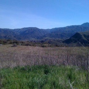
Limestone Canyon Wilderness Area is manage by Irvine Ranch Conservancy who schedule access to the normally closed area. [smooth=id: 12; width:600; height:400; timed:false; arrows:true; carousel:true; links:true; info:false; align:center; frames:false; open:true; text:Pictures;]
SMRPD Map
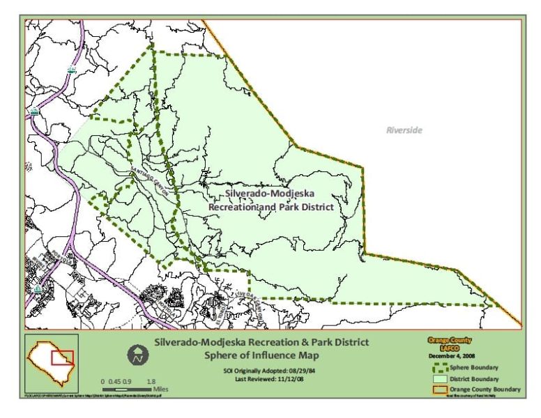
From Canyon Land Conservation Fund The Silverado-Modjeska area consists of approximately 65 square miles of mountainous terrain on the eastern edge of Orange County, California. Silverado and Modjeska are the most heavily populated canyons, with homes also in Ladd, Black Star, Williams, Harding and Baker canyons. Geographically, socially and visually, Silverado-Modjeska is a unique island within Orange County. Eighty-five percent …
Harding Canyon
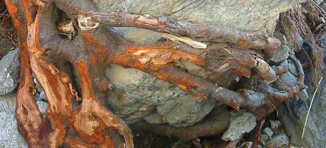
This is an alder root that was most likely covered in dirt before the Dec 2010 storms. The reddish tint is what happens when it is scrubbed by rushing water. It’s an easy indicator of how high the water got. Another interesting aspect of these is that these roots smell like leather.